Geography
is such an abstract and difficult concept for students, but it is important
that they begin to orient themselves as they read, learn and discover more
about the world around them. Each year we kick Social Studies off with an introduction to Latitude and Longitude. This is extremely complex for my students, because many of them don’t venture beyond the city where our school is located.
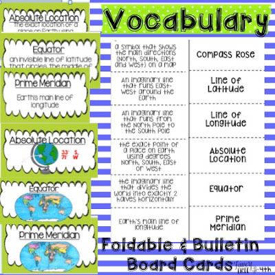
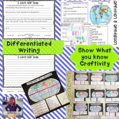
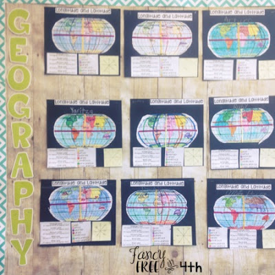
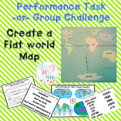
I created a Latitude and Longitude activity set to help my class make these abstract ideas more concrete. It front loads them with Vocabulary using pictures, a foldable (that can easily be glued into an INB) and bulletin board display cards for them to continual see and use as a reference in class.
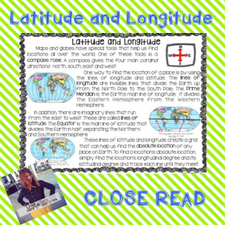
Going over this content vocabulary front loads them for their CLOSE Read excerpt which explains the important mapping and direction system that we use to locate places on Earth.


Leave a Reply